PR 9 · Madeira
Levada do Caldeirão Verde
A long levada walk from the Queimadas forest park to a waterfall falling into a green bowl, through four tunnels on the way.
- Distance 8.7 km
- Walking time 6 h 30
- Highest point 1,020 m
- Difficulty Moderate
- Route There and back
Official figures. Walking times are moving times: they assume you never stop.
The route
The walk
A long day on a levada cut into the cliffs above Santana, in a part of the island the roads never got to.
Levadas drop a few centimetres per kilometre and no more, so the walking is flat the whole way. What makes it hard is the length and the four tunnels, which are unlit, wet, uneven underfoot, and low enough in places that tall people hit their heads. Take a real torch, not a phone.
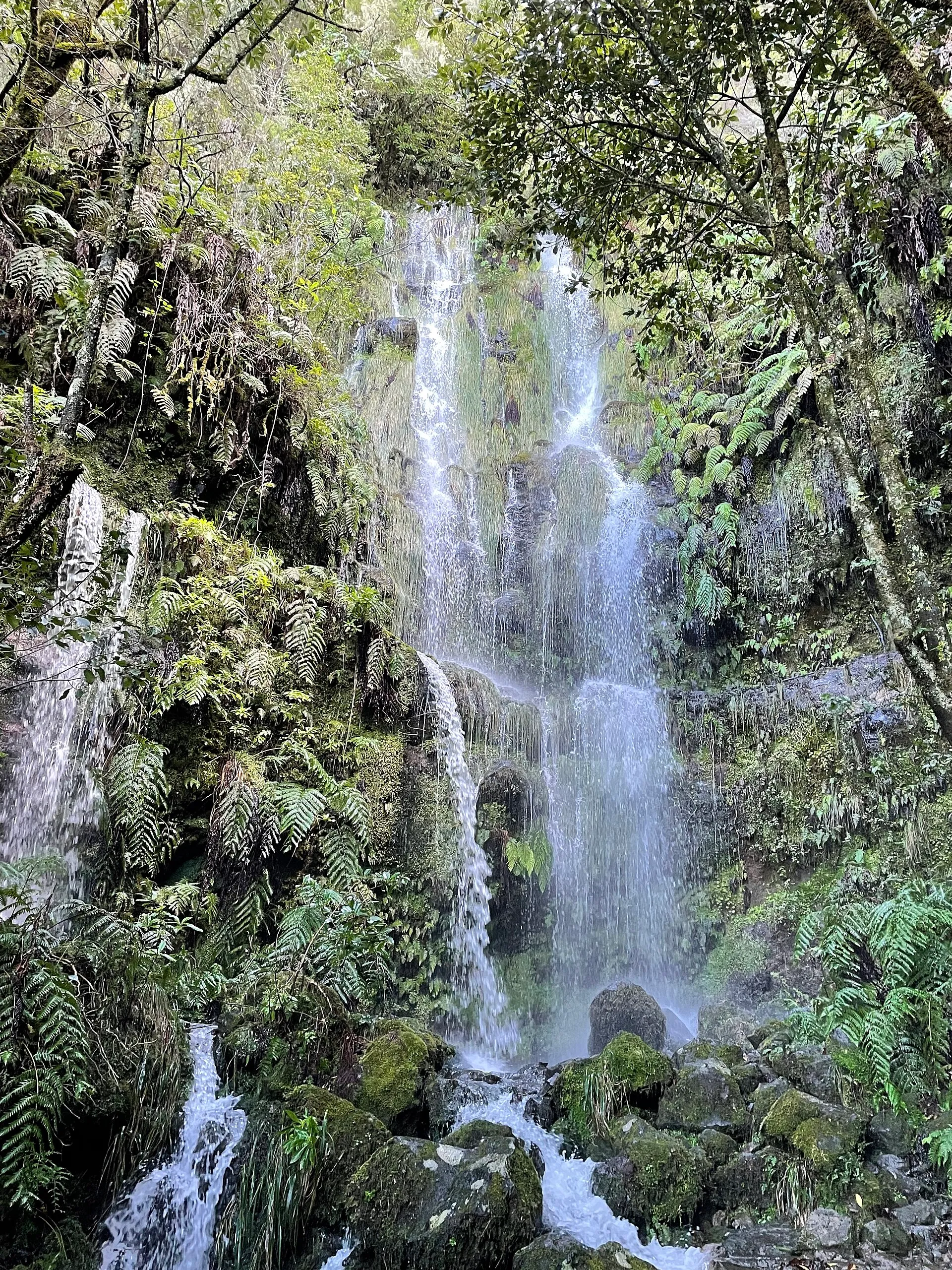
Caldeirão Verde is a bowl in the rock with a waterfall coming down about a hundred metres into a pool. It is cold and loud and by lunchtime there are a lot of people in it.
Past that, the path carries on to Caldeirão do Inferno. Rougher, emptier, and it adds a couple of serious hours.
The full route is six and a half hours of walking, so it is a day and not a morning. Plenty of people turn round at Caldeirão Verde. That is a perfectly good walk on its own.
Four unlit tunnels, wet and low. Long sections have a sheer drop on the levada side and the handrail comes and goes.
Before you go
Where to park
At the Queimadas forest park above Santana, at the end of a narrow road. Small, fills early on good days, and charged at around €2 an hour.
Getting back
Back the way you came, tunnels included.
By bus
Buses reach Santana, not the trailhead. From Santana it is a taxi or a long uphill walk to Queimadas.
What to bring
A proper torch, a waterproof, and shoes that grip wet stone.
When to go
Six and a half hours for the full route. Turning round at Caldeirão Verde makes it about four.
Toilets, water and food
Toilets at the Queimadas forest park. Nothing on the trail.
In the app
Everything for the day you walk PR 9
- You, on the line The whole trail on the map with your position on it, from the car park to the end.
- No signal needed Kept on your phone for the valleys and tunnels where the network goes.
- Today's free slots Every half hour of the day, live from SIMplifica, and booking in a tap.
- A timer for the walk Private, it counts from the trailhead and stops by itself at the end.
- To do, and done Mark the walks you want to do and the ones you have walked.
- Open or closed, every morning The IFCN status on every trail, read again each day.
Questions people ask
Is PR 9 open today?
Yes. The IFCN lists PR 9 (Levada do Caldeirão Verde) as open.
Do I need a licence for PR 9?
Yes. Every visitor over twelve books an entry slot on SIMplifica, the regional government's portal, before walking, and pays €4.50. Madeira residents, children aged twelve and under and people with a disability of 60% or more do not pay, but still register.
How long does PR 9 take?
The official walking time is 6 h 30 for 8.7 km. It is a moving time that assumes you never stop, so allow more for photographs, food and rests.
Where do I park for PR 9?
At the Queimadas forest park above Santana, at the end of a narrow road. Small, fills early on good days, and charged at around €2 an hour.
How do I get back after PR 9?
Back the way you came, tunnels included.
Can I get to PR 9 by bus?
Buses reach Santana, not the trailhead. From Santana it is a taxi or a long uphill walk to Queimadas.
Checked against
- Visit Madeira, official trail sheet PR 9 (8.7 km, 6:30, moderate, 872–1020 m)
- IFCN / SIMplifica (licence and fee)
Status as the IFCN publishes it. This page was last rebuilt on 15 October at 07:00, Madeira time. Trails close without warning after storms: check again on the morning you walk.
Guides that mention this trail
Trails nearby
All 43 trails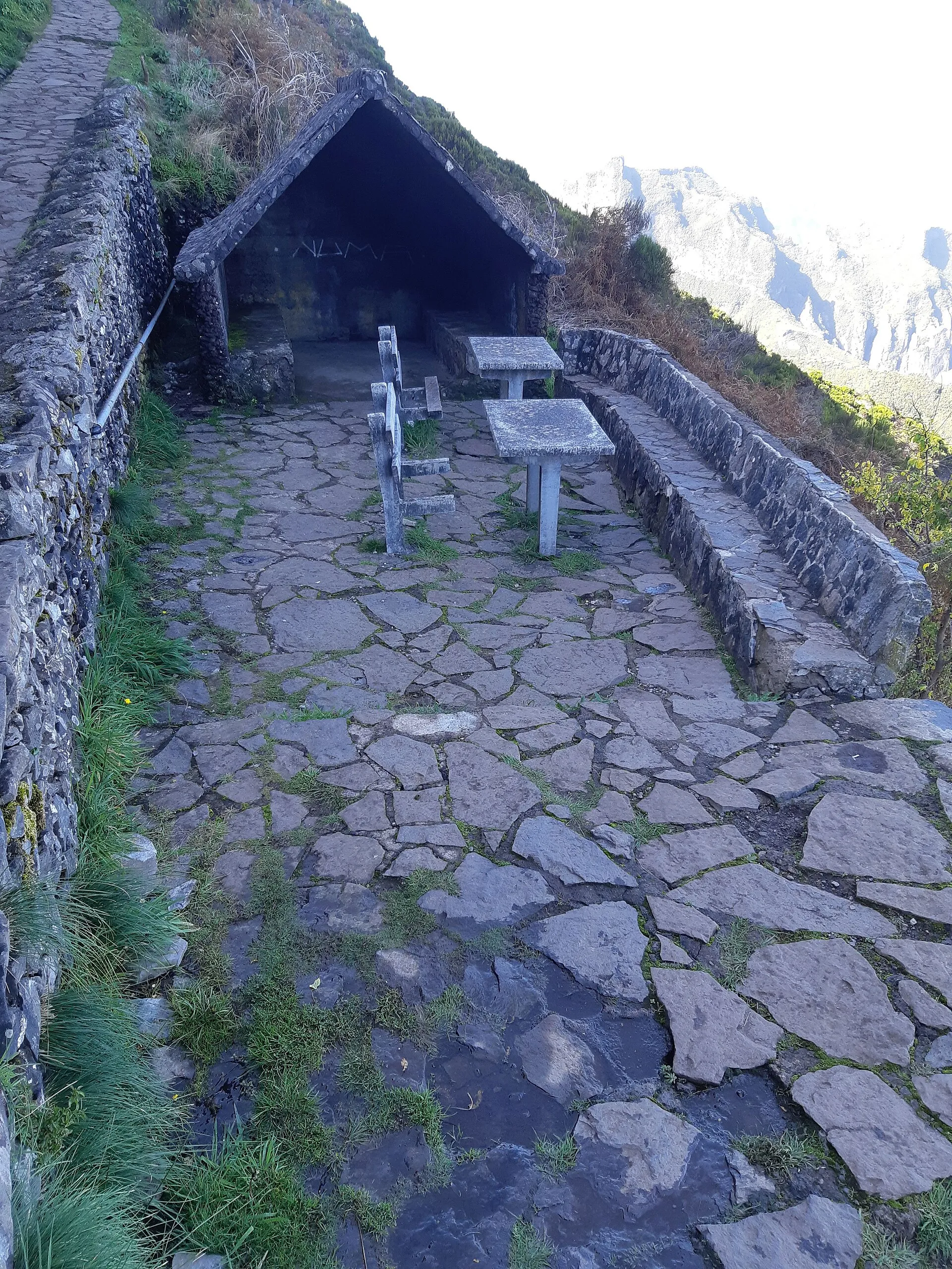 PR 1.2 Open
 Vereda do Pico Ruivo
The back way up Pico Ruivo, from Achada do Teixeira. Much shorter than the ridge from Areeiro, and the summit is the same.
- 2.8 km
- 1 h 30
- Moderate
- There and back
Vereda do Urzal
A crossing from the mountain bowl at Curral das Freiras over to the north coast at Boaventura. Currently only walkable from the north.
- 10.3 km
- 4 h 30
- Moderate
- One way
 PR 1 Open
 Vereda do Areeiro
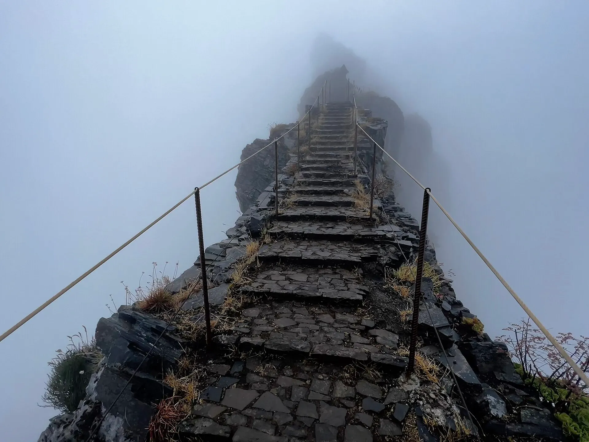
Pico do Areeiro to Pico Ruivo
The high ridge walk between the island's two tallest peaks, through tunnels and along staircases cut into the rock.
- 6.1 km
- 3 h
- Moderate
- One way