PR 6.1 · Madeira
Levada do Risco
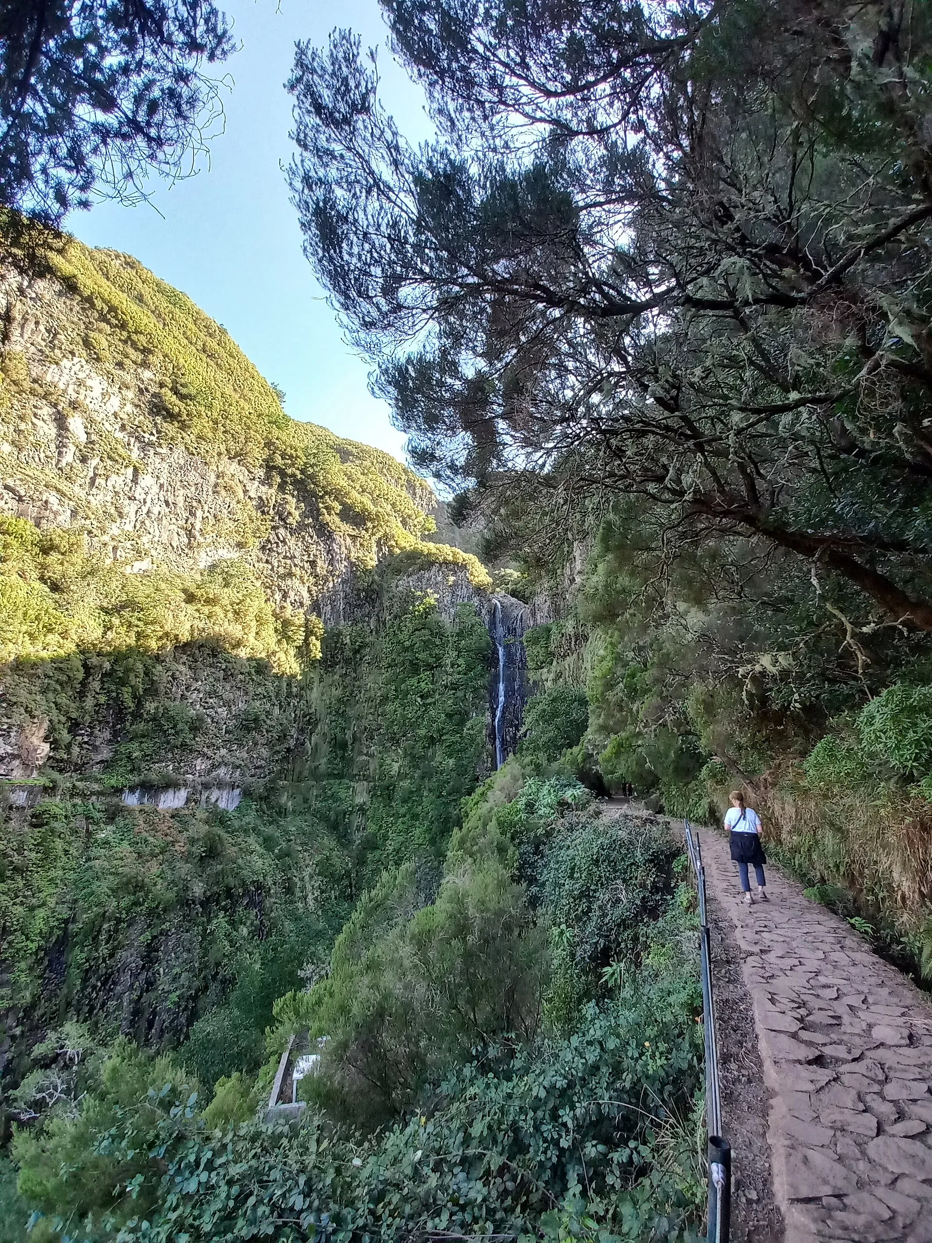
The short one at Rabaçal: half an hour of forest to a waterfall that drops in a single white line down a black wall.
- Distance 3 km
- Walking time 2 h
- Highest point 1,288 m
- Difficulty Easy
- Route There and back
Official figures. Walking times are moving times: they assume you never stop.
The route
The walk
This shares its first stretch with the 25 Fontes walk and then turns off, which is why people do both in a morning and why the first ten minutes are the busiest bit of path on the island.
The end is a viewpoint facing the Risco waterfall, falling vertically off the cliff opposite. You do not get close to it. That is the point: from here you see the whole drop at once.
Officially two hours, which is generous for 1.5 km. Take the time back at the waterfall.
Short and mostly flat, but the path is narrow with a drop on the levada side and it gets crowded, which is its own hazard.
Before you go
Where to park
Car park on the ER 105 above Rabaçal. You cannot drive the paved road down: walk the 2 km, or take the Calheta council shuttle, which runs through the day; no timetable is published. The council's PR 6 page gives €5 one way and €8 return; two of its older trail pages still say €3 and €5. Take cash either way. Coming from Funchal, the ER 105 from Encumeada has been closed since 2024, so go via the VR1, the VE3 towards Calheta, and up from Arco da Calheta.
When to go
Half an hour each way. Combine it with the 25 Fontes and the two together make a morning.
Toilets, water and food
Toilets and a small café at the Rabaçal forestry house.
In the app
Everything for the day you walk PR 6.1
- You, on the line The whole trail on the map with your position on it, from the car park to the end.
- No signal needed Kept on your phone for the valleys and tunnels where the network goes.
- Today's free slots Every half hour of the day, live from SIMplifica, and booking in a tap.
- A timer for the walk Private, it counts from the trailhead and stops by itself at the end.
- To do, and done Mark the walks you want to do and the ones you have walked.
- Open or closed, every morning The IFCN status on every trail, read again each day.
Questions people ask
Is PR 6.1 open today?
Yes. The IFCN lists PR 6.1 (Levada do Risco) as open.
Do I need a licence for PR 6.1?
Yes. Every visitor over twelve books an entry slot on SIMplifica, the regional government's portal, before walking, and pays €4.50. Madeira residents, children aged twelve and under and people with a disability of 60% or more do not pay, but still register.
How long does PR 6.1 take?
The official walking time is 2 h for 3 km. It is a moving time that assumes you never stop, so allow more for photographs, food and rests.
Where do I park for PR 6.1?
Car park on the ER 105 above Rabaçal. You cannot drive the paved road down: walk the 2 km, or take the Calheta council shuttle, which runs through the day; no timetable is published. The council's PR 6 page gives €5 one way and €8 return; two of its older trail pages still say €3 and €5. Take cash either way. Coming from Funchal, the ER 105 from Encumeada has been closed since 2024, so go via the VR1, the VE3 towards Calheta, and up from Arco da Calheta.
Checked against
- Visit Madeira, official trail sheet PR 6.1 (1.5 km, 2 h, easy, around 1000 m)
- Câmara Municipal da Calheta (shuttle price, ER 105 closure)
- IFCN / SIMplifica (licence and fee)
Status as the IFCN publishes it. This page was last rebuilt on 15 October at 07:00, Madeira time. Trails close without warning after storms: check again on the morning you walk.
Guides that mention this trail
Trails nearby
All 43 trails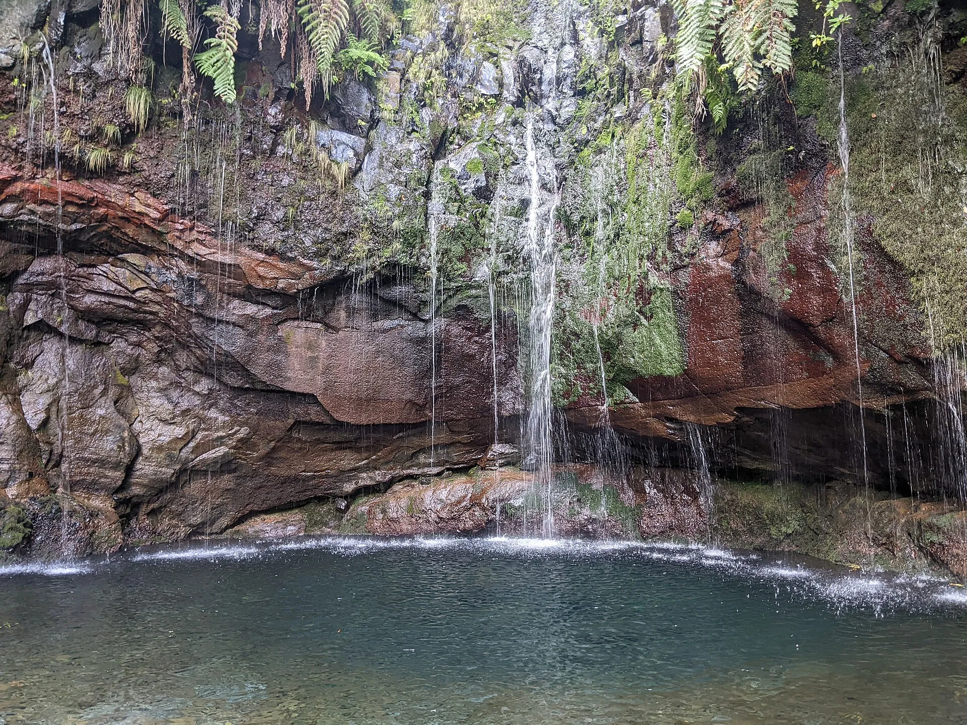 PR 6 Open
 Levada das 25 Fontes
A levada path through laurel forest to a green amphitheatre where two dozen springs come out of the rock at once.
- 4.3 km
- 3 h
- Moderate
- There and back
Levada do Paul II
Um Caminho para Todos
A level 1.2 km beside the levada at Rabaçal, built so that people with limited mobility can get into this landscape too.
- 1.2 km
- 30 min
- There and back
Vereda da Câmara de Carga do Rabaçal
A short link from the Rabaçal loading chamber to the Túnel do Cavalo. The one classified trail with no official description at all.
- 1.8 km
- One way